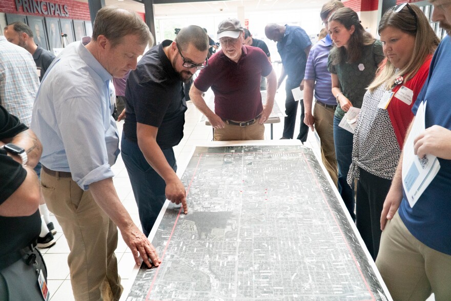
The Indiana Department of Transportation (INDOT) has maps set up at Harrison High School, with experts standing by.
They’re talking about how safety for non-motorized transportation can be improved near the Lloyd Expressway in Evansville.
Not to be confused with the Lloyd4U infrastructure project, the Lloyd4All is a new study.
The purpose is to learn how to make streets near the Lloyd expressway safer for walking, biking or taking the bus.
Said Gary Brian with INDOT, “The Lloyd4All project is a multi-modal study, which is looking at how people who walk, people who ride their bikes, access and get around the Lloyd.”
He said the end result of the study could be new pedestrian bridges or sidewalks.
Eugene Brouillard is a cyclist, living in the Arcadian Acres neighborhood of Evansville. He would like to know how traveling by bike could be easier and safer near the Lloyd.
“Going east and west is great, but going north is really a hard thing,” he said. “So that was my main concern for coming today.”
The boundaries of the study are from Epworth Road in the East, to US 41 in the west and from Covert Avenue in the South to about Morgan Avenue to the north.
Information about the Lloyd4All study, and opportunities to send feedback are online.

Brian Aldridge is project manager for the study. While he says it’s too early to share details, their website is already attracting opinions.
“We've heard some feedback on locations that stand out as being problematic for people, that they would like for us to pay some attention to — more so than ideas for improvements. It's locations like, ‘please do something here.’”
He said while the Lloyd makes transportation easier for drivers, the reverse is true for anyone outside a vehicle.
There’s no timeline for improvements — this is only the information-gathering phase. He said this study is unique in its scope inside the state, and will serve as a “pilot” for future studies.
This project is being administered by Stantec Consulting Services, and is a collaboration between them, INDOT and the City of Evansville.
Learn more about the study here.
Support independent journalism today. You rely on WNIN to stay informed, and we depend on you to make our work possible. Give to grow our local reporting today. Donate


